


Министерство национальной экономики Республики Казахстан
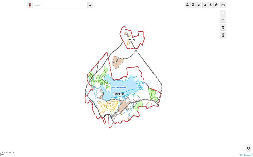
The development of an interactive investment map of the general plan of Temirtau city and Aktau settlement is an important stage in the development of urban infrastructure and economy. The main objective of the project was to increase the transparency of urban planning processes, stimulate investment and entrepreneurial activity, as well as create conditions for sustainable socio-economic development of territories.
«Geoinfo» company – one of the biggest company in Kazakhstan, that works with geoinformation technologies. Our company operates in the market of geographic information system and services of Kazakhstan since 2007.
The main activities are:
the development of applications of geoinformation systems, automated information system of urban, kand, water and other cadastres; design and development digital thematic maps, data analysis and visualization; providing a range of services in the field of geodesy and land management.
We work with the development and support of software products based on GIS technology using complex ArcGIS software of ESRI company, CAD AutoCAD of AutoDESK company and others.
Since 2007 our company has completed more than 50 major projects in the field of geoinformation technologies, automated information systems. mapping and geodesy.
Our company employs GIS professionals with high skills and knowledge in the field of application programming, topographic surveying, mapping and land surveying work. All employees are certified appraisal ESRI.
The company is constantly systematically train all employees to ensure the growth of their professional level and the purpose of the organization works to improve the quality of products and stimulate the staff for their work to improve the quality.


Engineering and surveying services, including topographic works for design and construction. With the help of surveying implement transferring from paper into nature with millimeter accuracy projects of buildings and structures, calculating the amount of materials and controlling for compliance with the geometric parameters of structures. Services for digitizing maps: scanning, vectorization, data analysis and visualization.
Maintenance of the urban cadastre is an integral part of monitoring under construction (planned for construction) objects and complexes. It is also, observing systems of state and changes of architectural, urban planning and construction activities of objects on the territory of the Republic of Kazakhstan.
The main activity of our company is to design and implement the software using GIS technology. Application of GIS technology allows you to combine large volumes of cartographic and thematic information in a single system, and thus create a coherent framework for the analysis of the available data and received information.
When designing the planning documentation of the use of GIS technology is the adoption of science-based, demonstrable project proposals. The designed system increases the efficiency of tasks, simplifies and speeds up work on making management decisions.
Our address:
Kazakhstan, 100000, Karaganda,
Buhar-Zhirau ave, 58 n.p.1
+7 (7212) 21-65-60
too_geoinfo@mail.ru
info@geoinfo.kz