Updating the vector map of Temirtau, Karaganda region
2017
The vector map of the city of Temirtau was updated using the licensed ArcGIS Desktop 10.2.1 software based on orthotransformed remote sensing data and materials from a field survey of the settlement.
In the process of updating, work was carried
out to compare the vector map with the data of the Address Register information
system. The results of updating the locality are shown in Figure 1.
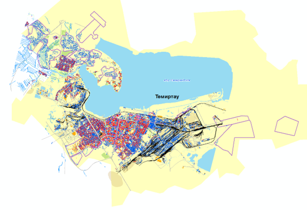
Figure 1 - Vector map of Temirtau, M 1:2000
Back to all projects